
LiDAR Data for Landscape Architecture: Key Uses
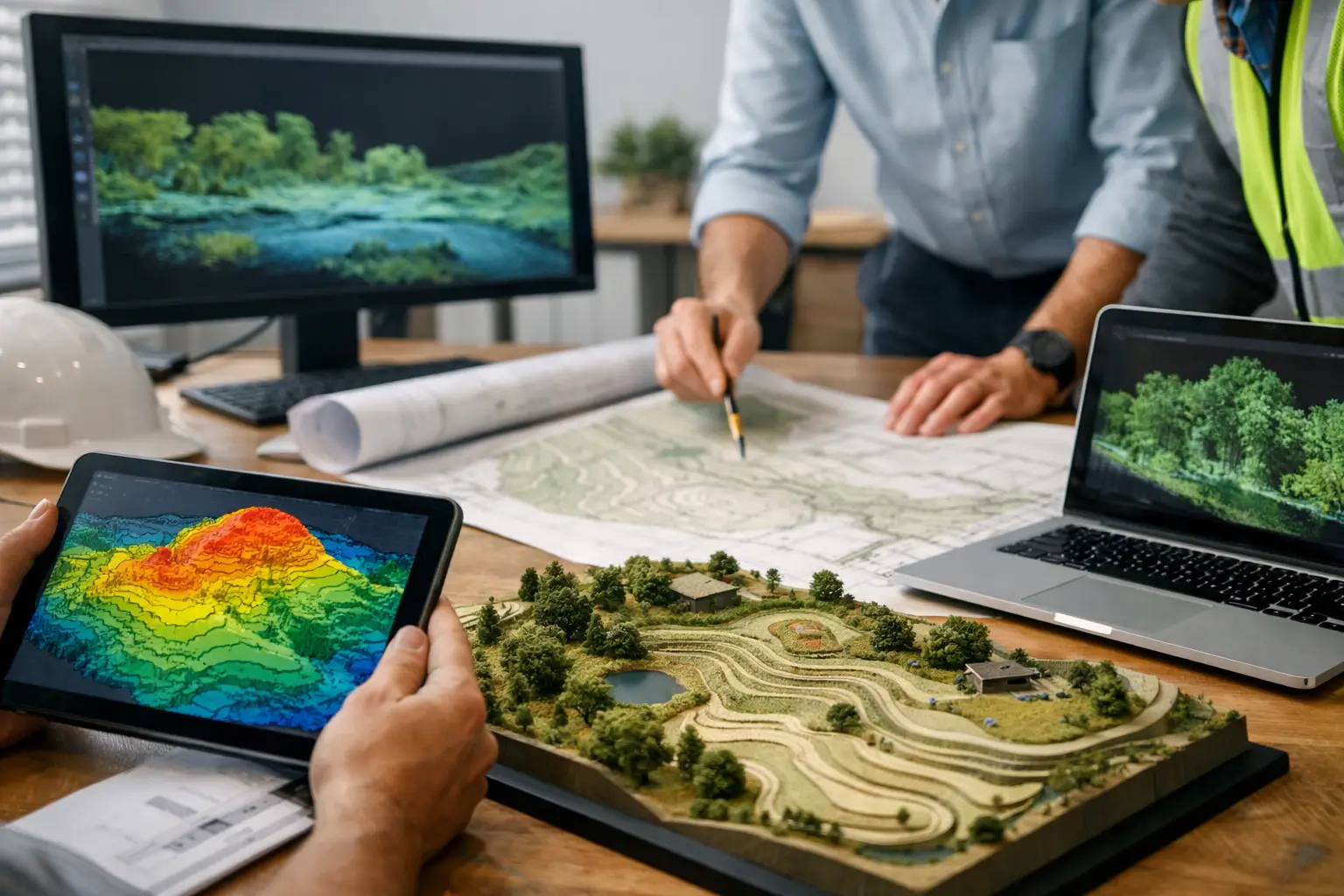
A landscape scheme can look resolved in plan while failing on the ground. A missed swale, an assumed spot level or a model placed on vague contour data can alter drainage, retaining requirements, accessible routes and cut-and-fill quantities. LiDAR data for landscape architecture gives the design team a measured starting surface, rather than an approximate one.
The value is not simply that LiDAR creates a detailed terrain model. It is that the data can be brought into the tools where landscape decisions are made: Revit, SketchUp, Rhino, Grasshopper and ArchiCAD. When the point cloud is clean, correctly located and proportionate to the site, it becomes useful for design rather than a GIS exercise handed to someone else.
What LiDAR data shows on a landscape site
LiDAR measures distance with laser pulses, commonly captured from an aircraft and processed into a point cloud. Each point has a horizontal location and an elevation value, usually expressed as X, Y and Z coordinates. For landscape architects, that makes LiDAR particularly useful for understanding surface form across a site before detailed survey information is available.
Depending on the source and processing, the dataset may represent the ground surface, buildings, vegetation and other objects, or it may be classified to isolate bare-earth terrain. This distinction matters. A surface generated from unfiltered points can follow tree canopies, roofs and parked vehicles rather than the land beneath them. It may look impressively detailed while being unsuitable for setting paths, checking falls or testing grading proposals.
A terrain model should answer practical questions: where does water naturally move, where is the ridge or low point, what are the likely retaining transitions, and how much existing level change must the scheme accommodate? LiDAR is strong at revealing the wider site structure, including slopes that are not obvious from mapping or aerial imagery.
Where LiDAR helps most in landscape design
LiDAR is especially effective in the early and middle stages of site design. On a large housing layout, campus, park, estate or infrastructure-adjacent project, it gives the team a defensible way to establish terrain before committing time to massing, access and public-realm layouts.
Drainage and level strategy
Landscape drainage depends on gradients, catchments and discharge routes. A terrain surface based on real elevation data lets designers identify likely overland flow paths and test whether proposed paving, planting areas and basin locations work with the site rather than against it.
This does not replace a drainage engineer's calculations or a detailed topographic survey. It does allow the landscape team to ask better questions sooner. A proposed threshold may be difficult to serve with compliant falls; a planted swale may need to sit lower; a path may require a different alignment to avoid excessive crossfall. Those are design decisions worth finding before the model has become expensive to revise.
Earthworks and retaining design
Existing terrain is the baseline for every cut-and-fill discussion. Even where final quantities require a commissioned survey and civil-engineering specification, LiDAR can establish whether a concept is broadly landform-led or dependent on major intervention.
The key is to use an appropriate point density. Too few points can flatten critical breaks in slope. Too many points can make a BIM model slow and awkward, particularly in Revit. A sensible working surface preserves the terrain features that affect the proposal - banks, ditches, road edges and drainage routes - without importing every available point into the authoring model.
Access, public realm and visibility
Route design benefits from a terrain model that extends beyond the immediate red line. A short ramp may connect neatly within a limited site boundary but become problematic once the approach levels are understood. The same applies to cycle routes, steps, viewpoints, play areas and street trees placed on embankments.
For urban and public-realm schemes, LiDAR can also provide useful context for neighbouring streets, open land and adjacent development. The model is not just a presentation base. It is a working reference for coordinating landscape levels with architecture and civil design.
LiDAR data for landscape architecture needs context
Resolution is often discussed as if a smaller point spacing automatically produces a better model. In practice, the correct resolution depends on the decision being made. Regional feasibility work may only need a broad terrain reading. A compact public realm scheme with kerbs, accessible gradients and level thresholds needs more local precision, often supported by a detailed survey.
The age of the capture also matters. If a site has recently been regraded, developed or altered by flood works, historic LiDAR may not represent current conditions. Check capture dates where they are available, and compare the surface with recent site photographs, mapping and survey information.
Coordinate reference systems are equally important. A point cloud can be geometrically accurate yet be unusable if its horizontal coordinate system or vertical datum does not match the project model. A small vertical discrepancy can create false drainage falls. A coordinate mismatch can place a site kilometres away from the architectural model. Treat the coordinate system as part of the dataset, not an optional technical detail.
A practical workflow from site boundary to model
The most efficient workflow is to obtain terrain data only for the area needed, then export it in a format the design software can read. This avoids the common pattern of downloading a large national dataset, opening unfamiliar GIS software, and manually extracting a small project area.
Start by defining the site boundary. Include enough surrounding terrain to understand approach levels, drainage direction and adjacent connections. For a small garden, this may be modest. For a masterplan or hillside development, the relevant catchment and access routes may extend well beyond the ownership boundary.
Next, generate a bare-earth elevation dataset and assess its density against the intended software. XYZ or CSV files are widely useful because each row contains a coordinate and elevation. They are direct, editable and suitable for creating surfaces, meshes or native terrain elements.
Then create the model in the authoring environment. In Revit, XYZ data can support a Toposolid workflow, but performance should be monitored carefully. Remove unnecessary points before importing a large area, especially where the terrain is relatively uniform. In SketchUp, points can become a terrain mesh, while Rhino and Grasshopper users can construct a surface or mesh and retain more control over filtering, contouring and analysis. ArchiCAD users can use the points to create or edit a Mesh.
Finally, verify the result. Check a few known spot heights, confirm units, inspect the model in section and ensure it aligns with the project coordinate strategy. Do this before tracing paths, setting building levels or issuing a coordination model. A quick validation at the start prevents a false ground surface from spreading through the project.
Avoid treating LiDAR as a final survey
LiDAR is highly useful, but it has limits. Dense vegetation can obscure ground conditions. Walls, narrow kerbs, culverts and recent construction may not be represented clearly. The data may also be unsuitable for contractual setting-out or construction tolerances, depending on its source, age and stated accuracy.
Use it for what it does well: rapid, evidence-based terrain understanding and reliable modelling context. Bring in a current detailed topographic survey when the project reaches decisions that depend on precise feature locations, legal boundaries, finished-floor levels or construction control.
Topo-grapher is designed for this earlier-to-middle workflow: define a site area, generate editable terrain data from available official elevation sources, then download clean XYZ points for the modelling environment already used by the team. The aim is not to turn landscape architects into GIS specialists. It is to get usable terrain into the model without losing coordinate control.
A well-made terrain model should make the next design move clearer. If it exposes a drainage conflict, a difficult route or an avoidable retaining wall while changes are still cheap, the data has already earned its place in the project.



