
About this blog
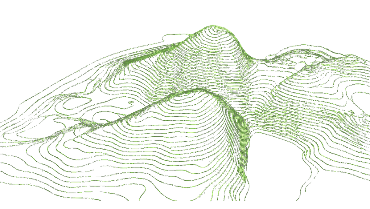
This is the writing side of Topo-grapher - a tool that turns real government elevation data into site terrain you can actually use in Revit, SketchUp, Rhino and ArchiCAD, without GIS software, surveyors, or coordinate-system wrestling.
The posts here go deeper than the product pages: workflows, formats, drainage analysis, coordinate systems for BIM, LiDAR accuracy, and the practical detail behind getting real ground into a design model. If you're an architect, BIM manager, landscape architect or engineer working with site context, this is written for you.
About the author
Written by Aki - a practising Construction Architect specialising in practical construction, BIM data and 3D modelling.
- Education: BSc in Construction Architecture. Studied in Edinburgh, Copenhagen and Iceland.
- Sector experience: Residential schemes and apartment complexes, hospitality (restaurants and hotels), veterinary hospitals, and summer houses.
- Focus: Site terrain, BIM workflows, elevation data pipelines, and the friction between GIS output and how buildings actually get designed.
Topo-grapher exists because that friction cost me - and every designer I know - real hours on every project. The tool and this blog are built around one goal: give designers survey-grade ground without the survey-grade workflow.
Get in touch
- Try the tool: topo-grapher.com
- Email: aki@topo-grapher.com
- LinkedIn: Sveinn Ólafsson
Have a country you'd like better elevation coverage for, a workflow that isn't documented, or a bug? Email me - I answer everything.